Today we had the short trip from Litchfield NP to Darwin but we did have a slight diversion for morning tea at Humpty Doo Hotel, (don’t you love the name). Humpty Doo is about 7 K’s off the Stuart Hwy, leading you to Kakadu NP, which we will not be going too on this trip. Humpty Doo is only a short trip out from Darwin’s CBD and about 30 K’s from our Darwin destination, Robbie Robbins Reserve.
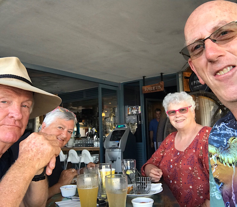
Late lunch at Lola’s in Cullen Bay.
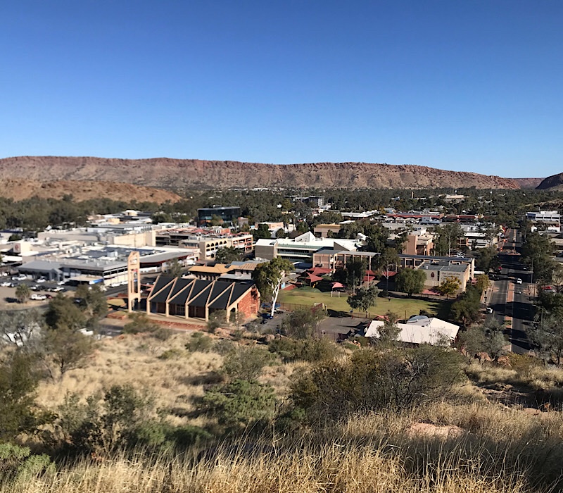
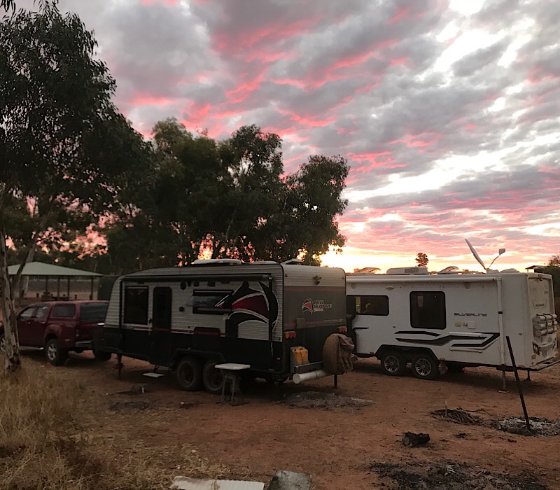
After setting up we headed into the CBD for a quick look around and a visit to the information centre. Once again the indigenous population were in full force with yelling and screaming at one another, irrespective of where they were or who is around them. The locals are used to it but we are still troubled by it. Then it was off for a late lunch at Cullen Bay, one of my favourite spots in Darwin. We have 5 days in Darwin so we are looking forward to a number of activities planned. For Andrew and I, golf sits about number 1!
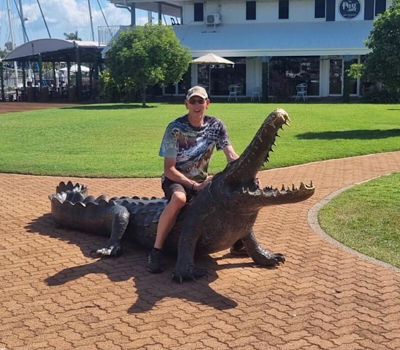
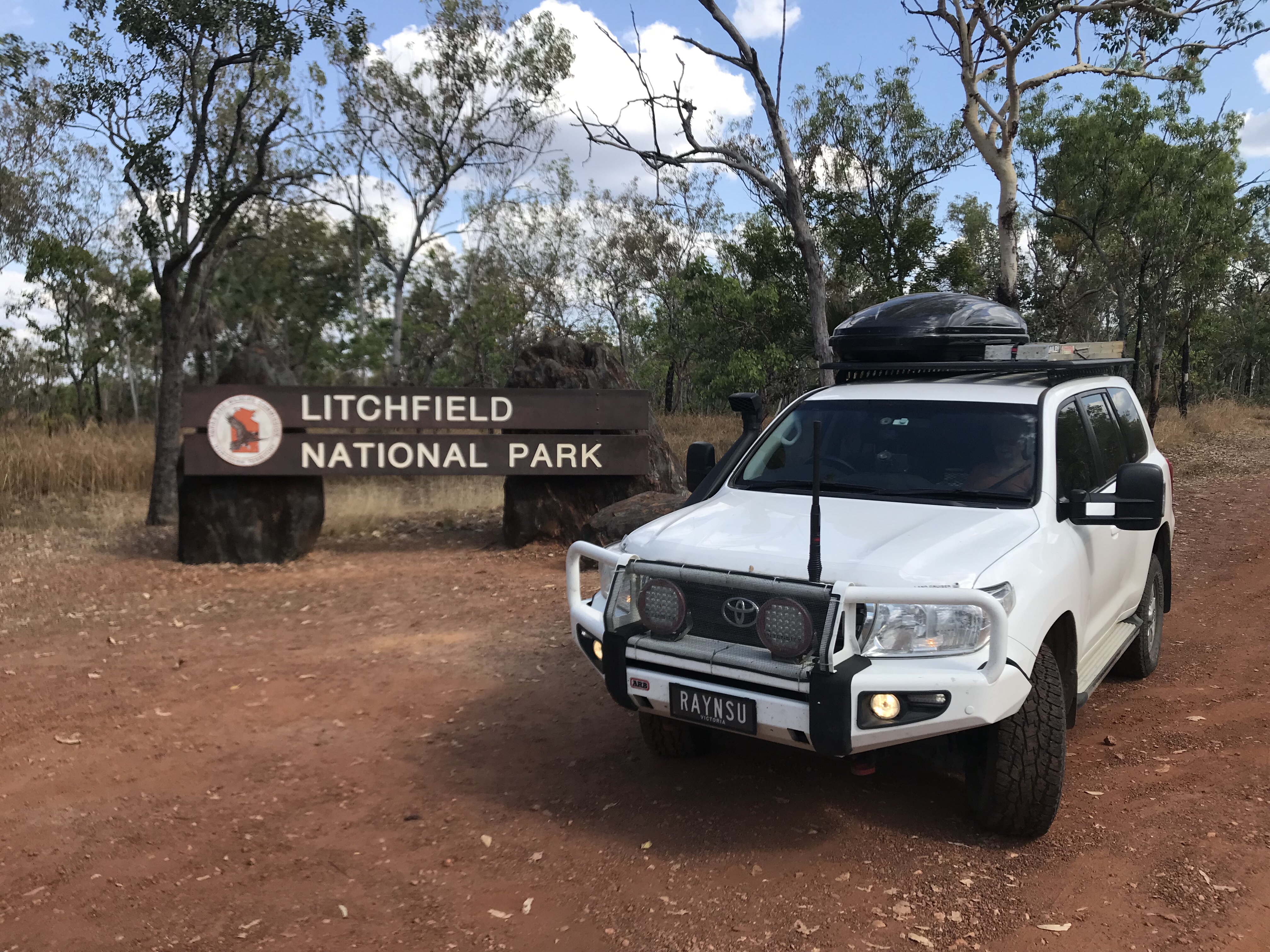
So from Mataranka we travelled up to Litchfield National park, with a stop off in Katherine for brunch and some shopping. It’s 2 years to the day since we visited Litchfield on our 2020 lap of Oz and what a difference, the places are packed and the same park we stayed in 2020 is also packed. We are here for a few days so the following photos are what we have been doing whilst in Litchfield.
It’s been a familiar theme on the trip so far, there are so many people travelling and the peace and quiet we had in 2020, is completely gone. I’m hoping WA will be a bit better but some how I think it will also be the same, battling the crowds wherever we go.
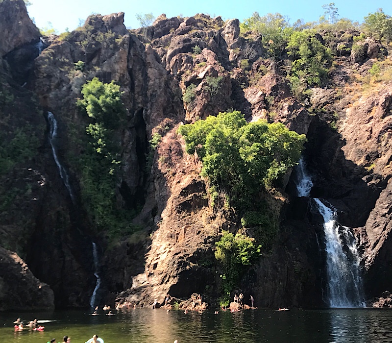
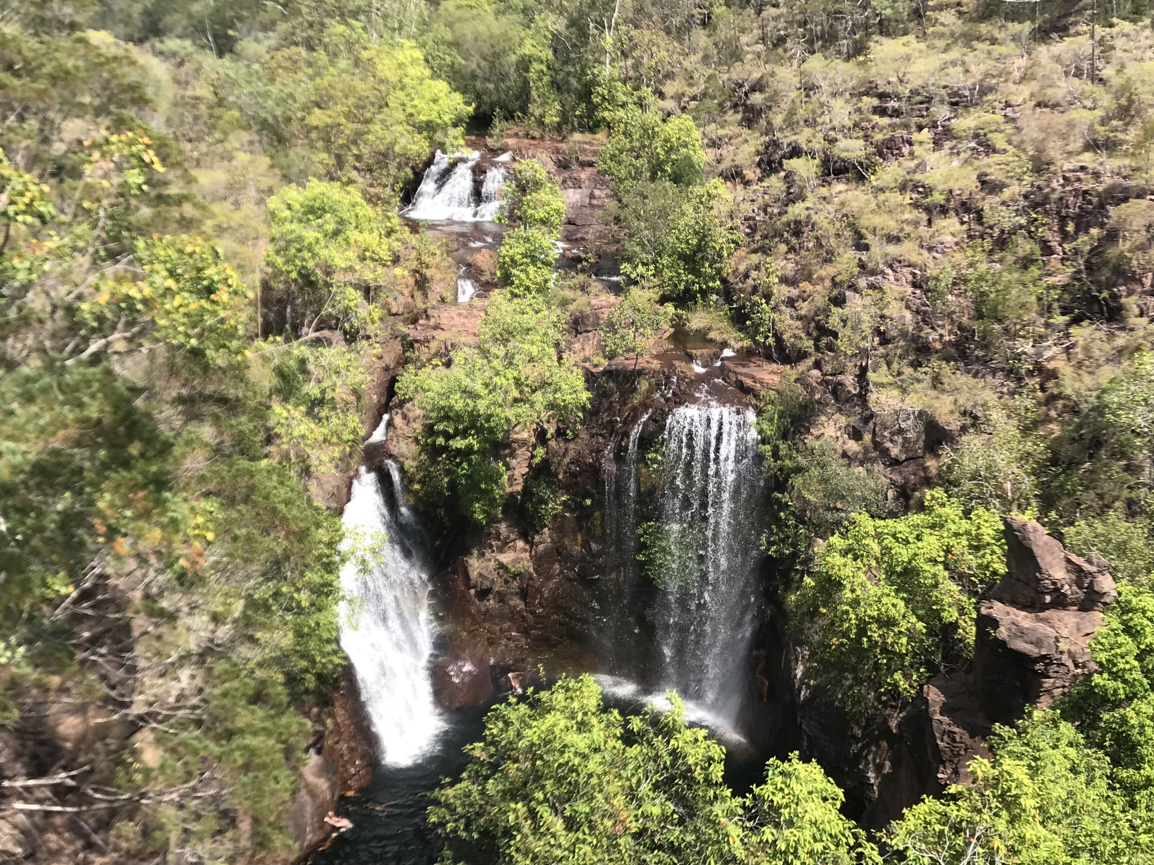
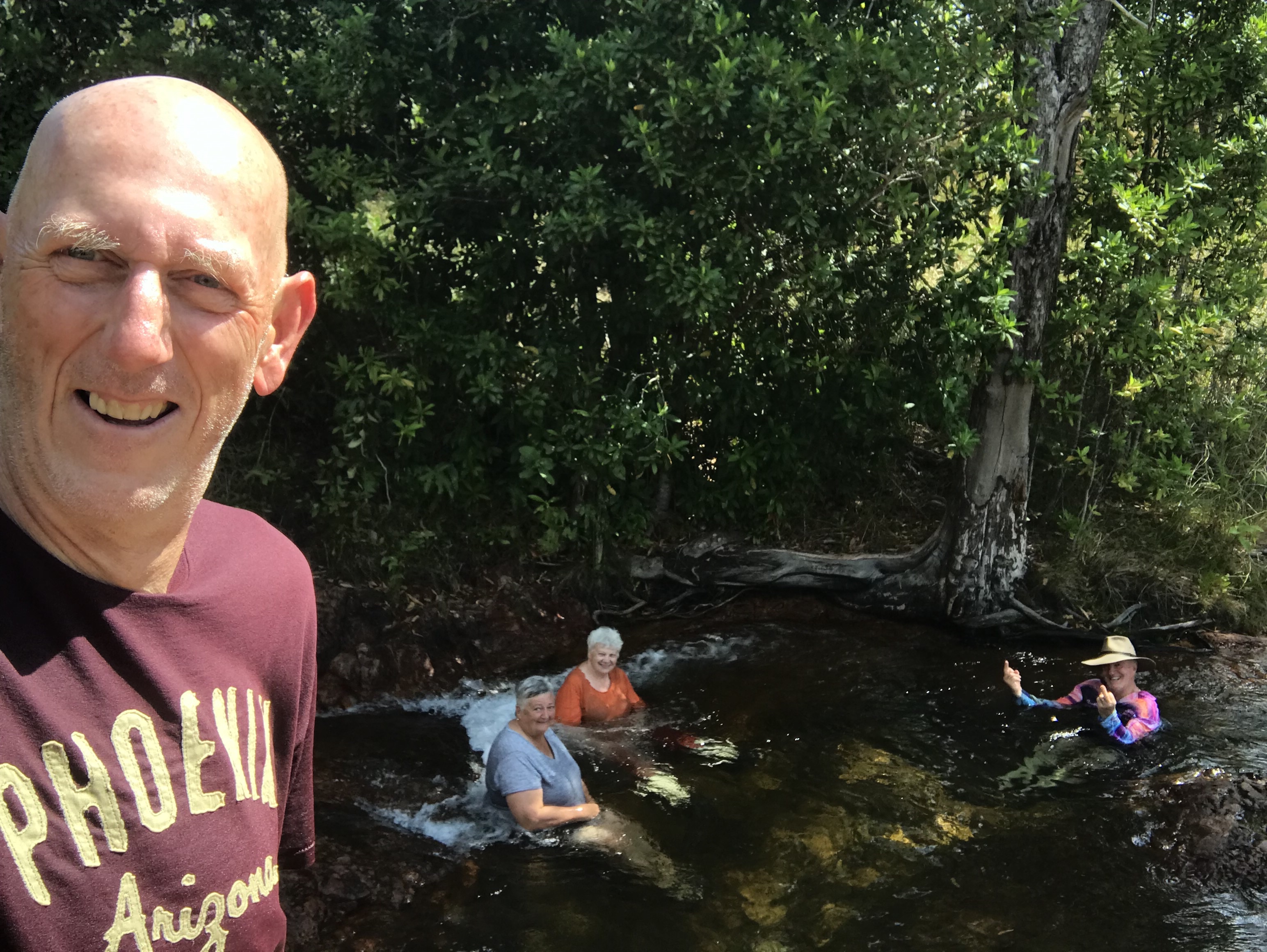
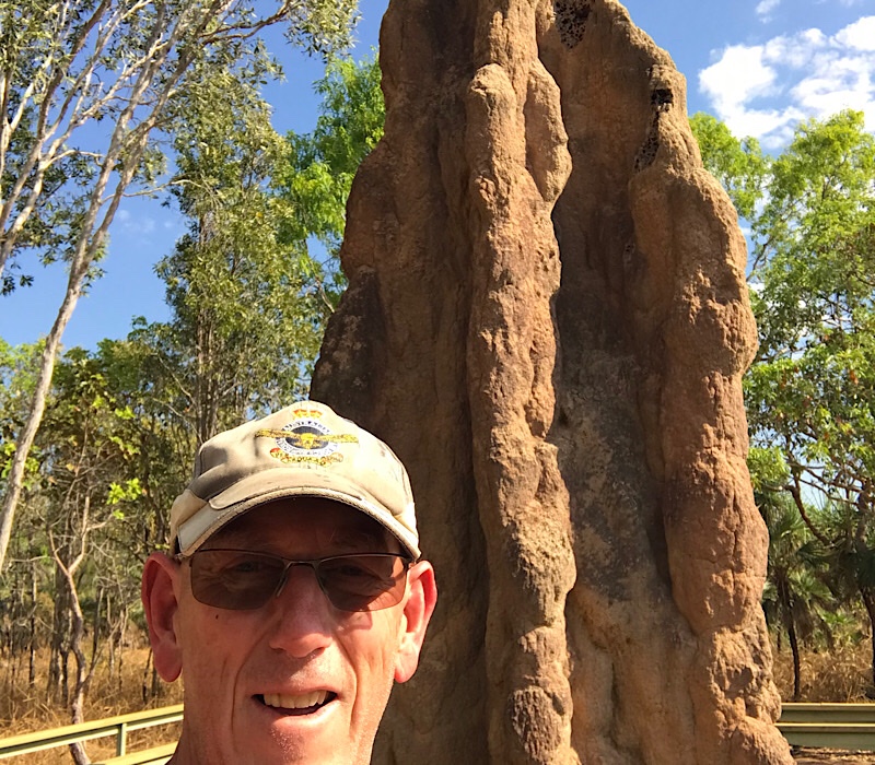
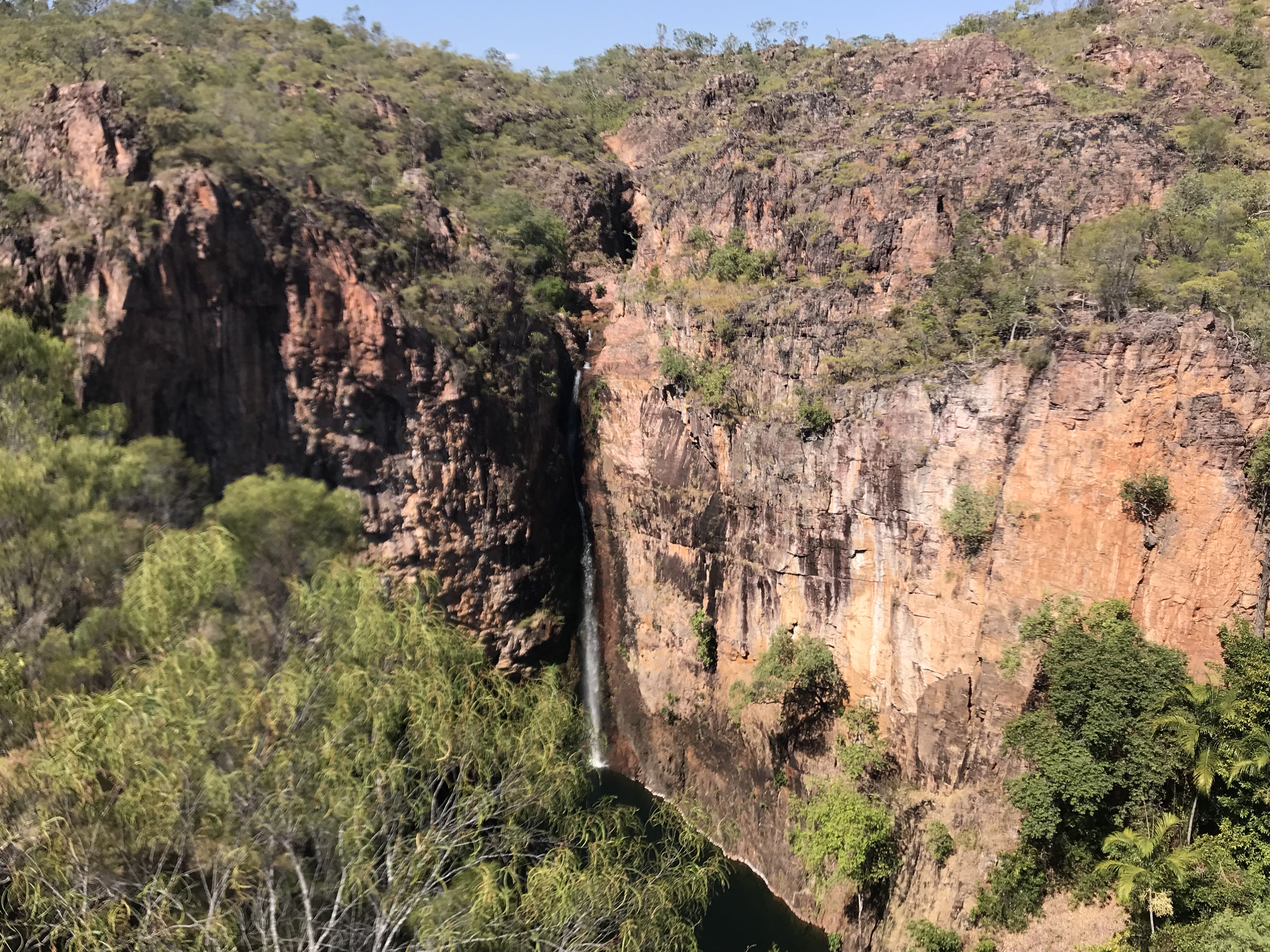
Wangi Falls, were we all had a dip. Much more water coming down the falls this year compared to 2020.Florence Falls from the lookout, once again more water!The gang at one of the pools at Bluey Rockpool!One of the 5 metre termite mounds in Litchfield, estimated to be over 50 years old!Tolmer Falls, there was no water in 2020 when we visited.
So after 3 days at Litchfield, Tuesday the 2nd of August, it was off to Darwin!
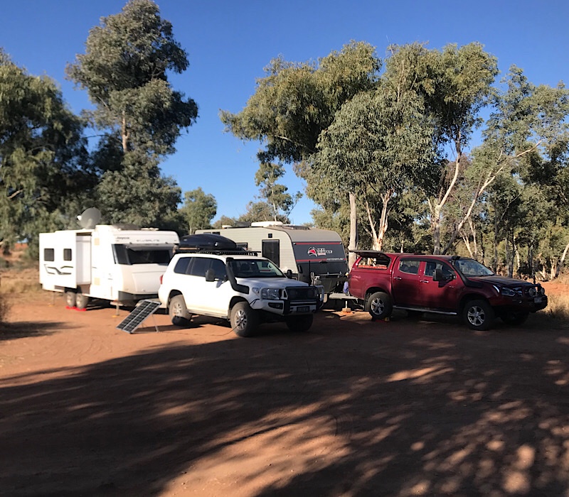
Today it was a quick drive north of approximately 80 K’s to Mataranka. A lot of van parks are not taking bookings, you have to get in early or miss out, so it was up early at Gorrie and get going so we could get into the Bitter Springs van park. We certainly beat the traffic as we were well and truly set up and relaxing as the hordes began to arrive, by 3 o’clock it was basically full.
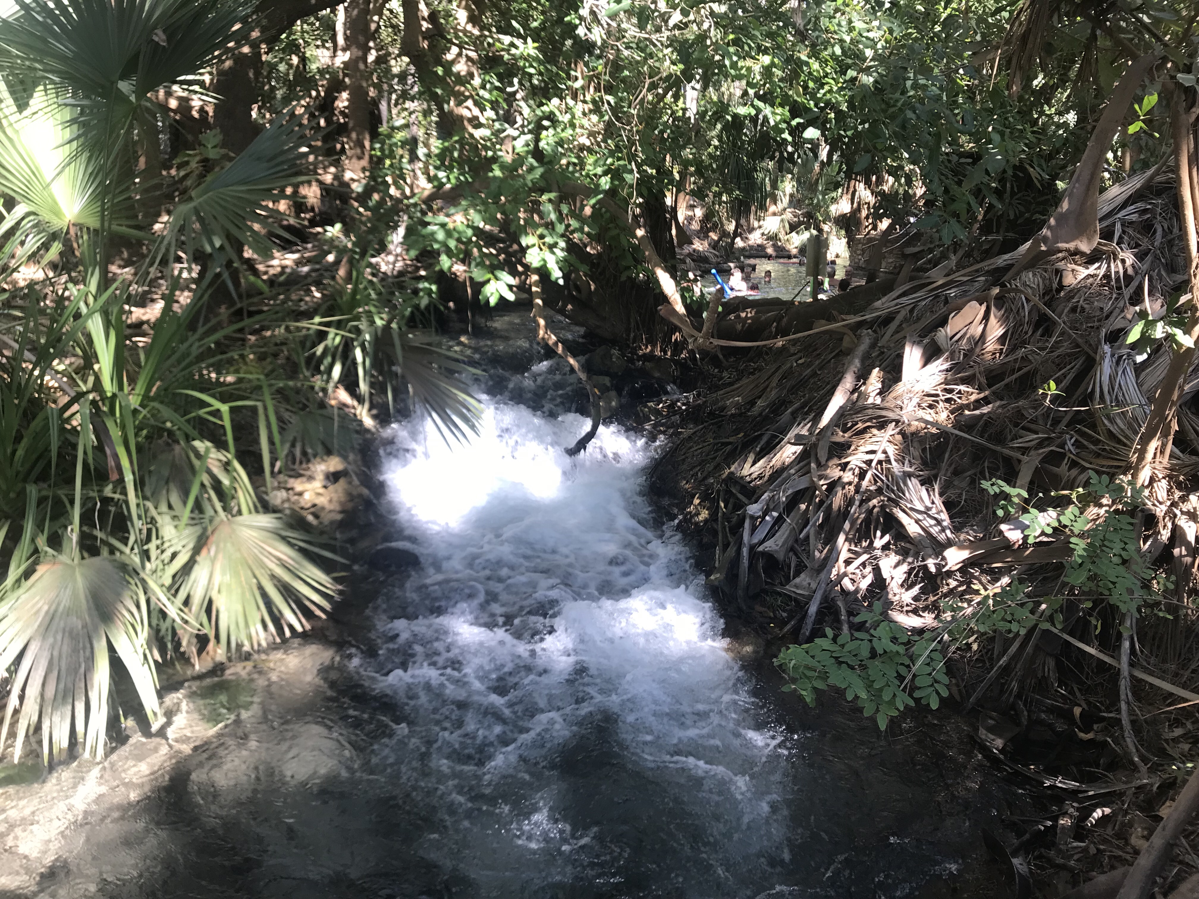
Mataranka Thermal pool and mini waterfall.
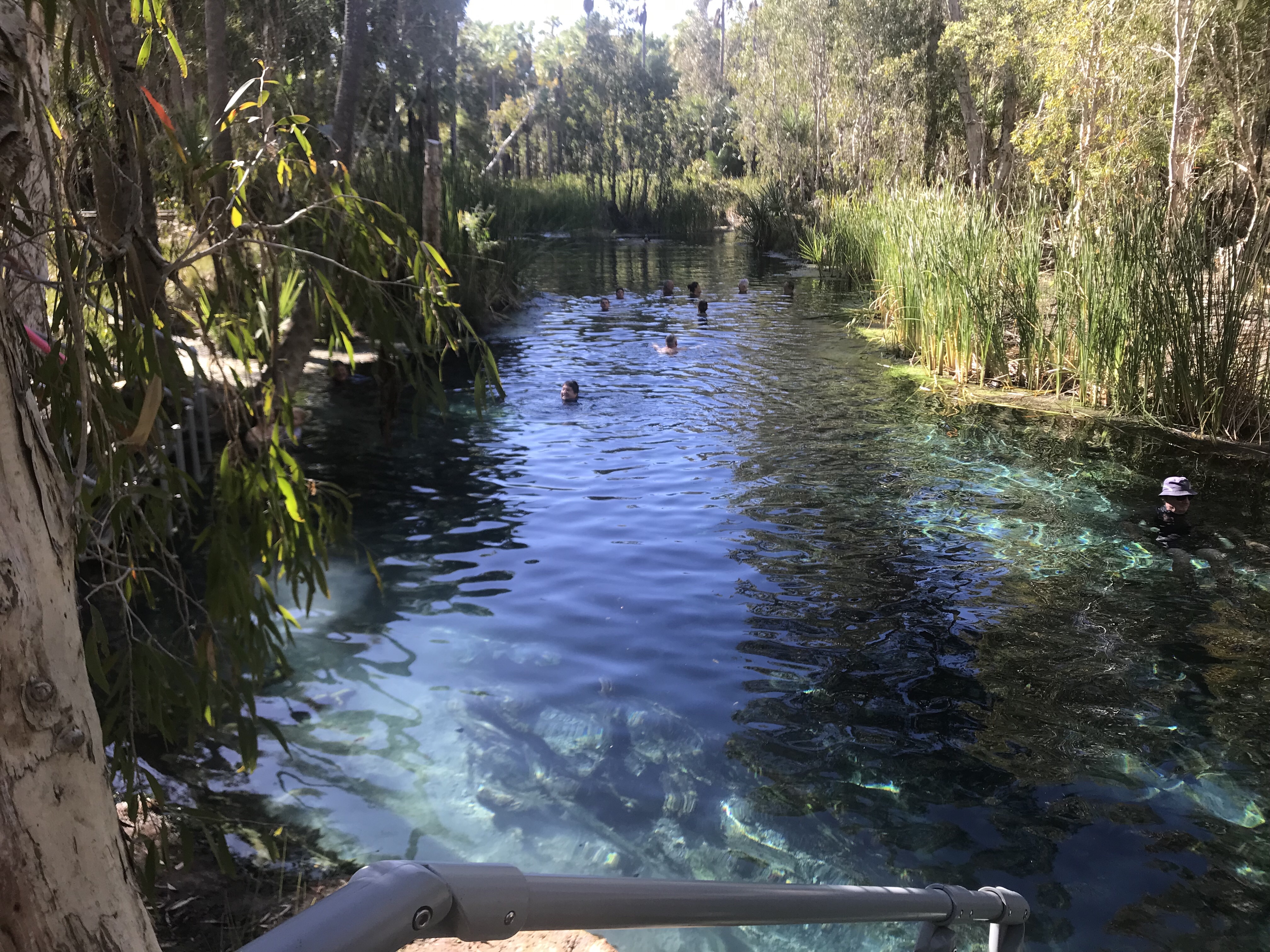
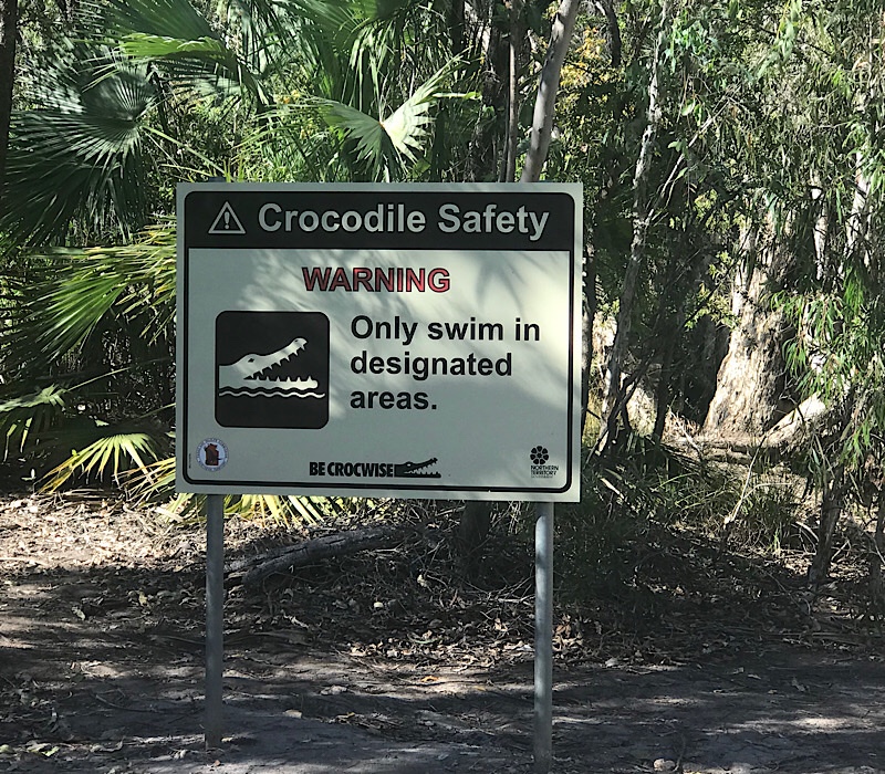
We did a quick trip to the Mataranka Thermal pool and hope to have a dip there tomorrow, also we ventured down into the Bitter Springs and joined the many other holidaymakers in the water. Hopefully the high water temp keeps the COVID bug at bay!
Just a reminder, now that we are in the Tropic of Capricorn that those “walking handbags with teeth” are around!
After 2 days at Banka Banka we left and continued our northward trek up the Stuart Hwy. First stop was Elliot for a morning Coffee which in hindsight was a mistake, not a very nice town with a not very nice sales person in the cafe and also not very nice Coffee’s. Leave Elliot of your Bucket List of place to see peoples!
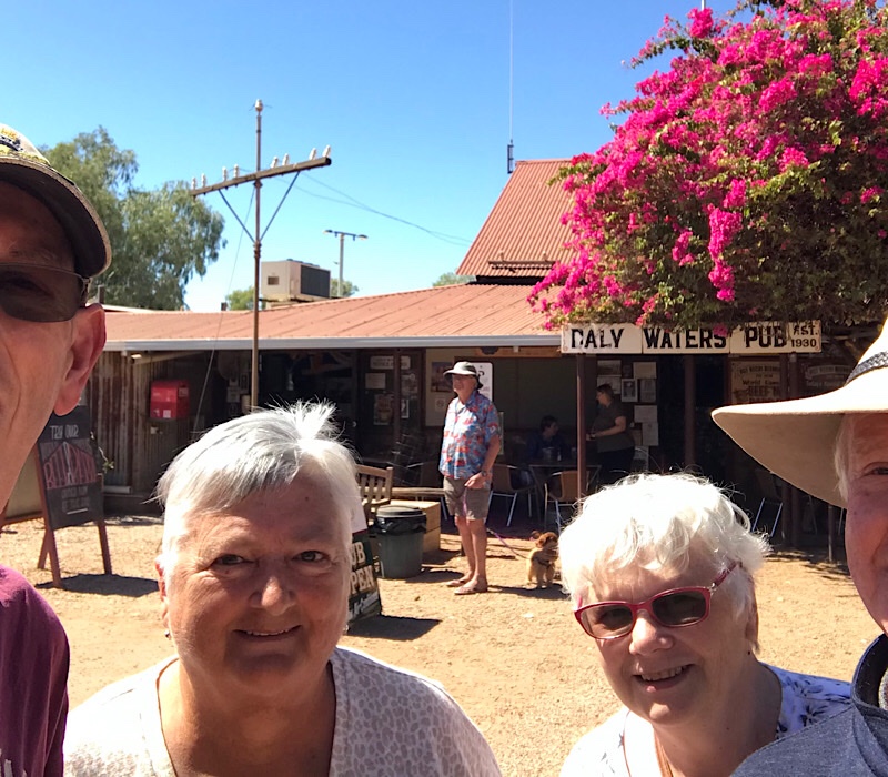
The four of us (well close too), outside the iconic Daly Waters Pub!
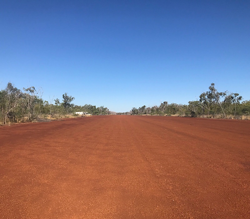
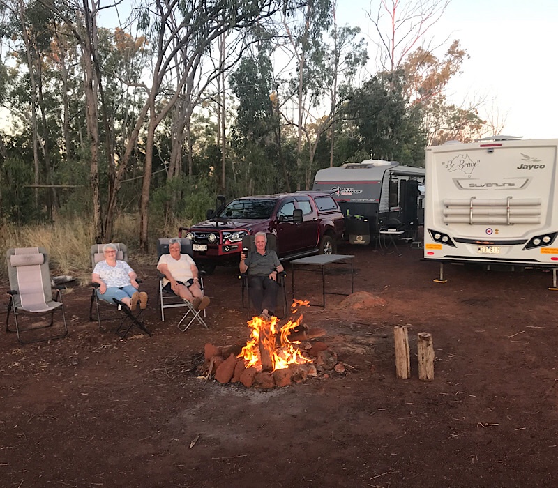
From Elliot it was to the Daly Waters Pub for a drink and bite to eat. It’s an iconic place, about 5 k’s in from the Stuart highway and the pub camping area was absolutely packed. It was the main reason we decided to move on further north to a free camp area and we found a ripper. Back in WW2 there were many airstrips built after Darwin was attacked to help defend the north of Australia. There are still remnants of many WW2 installations along the Stuart highway and Gorrie airstrip is one that was been made available for Grey and not so Grey Nomads. It’s a bit of a rough track in but well worth the effort. We had a great night there. I walked the 2 k long airstrip and we had a great fire and the stars were in abundance later in the evening. A memorable stay for a number of reasons but for me it was one of the airstrips my father help build and maintain when he was with the RAAF Airfield Construction Squadron in Darwin, so it had special significance to me.
Campfire alight, drinks are out, so it time to settle in for the evening at Gorrie airstrip!
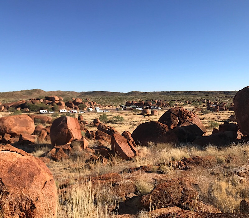
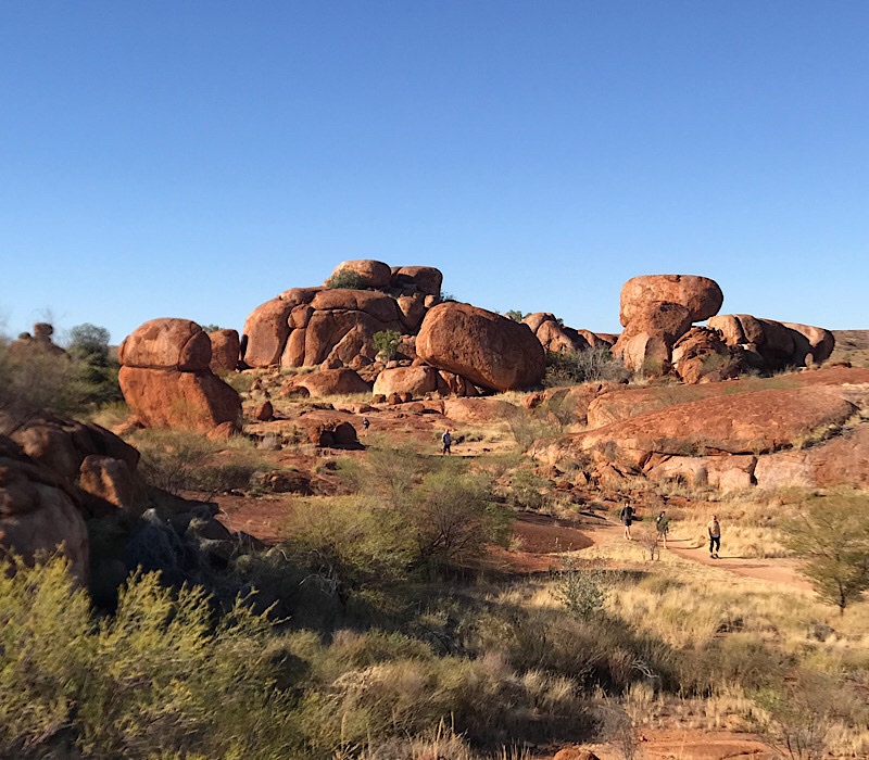
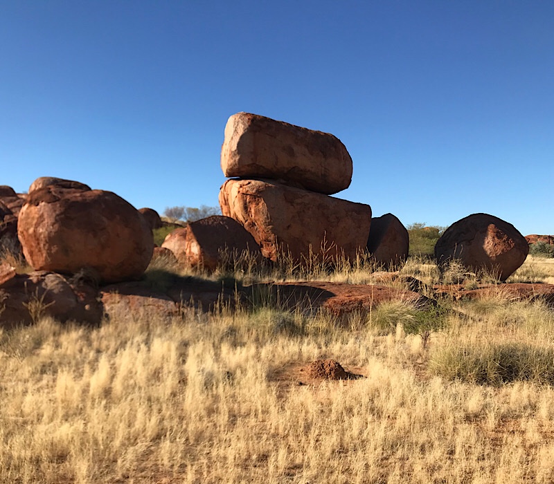
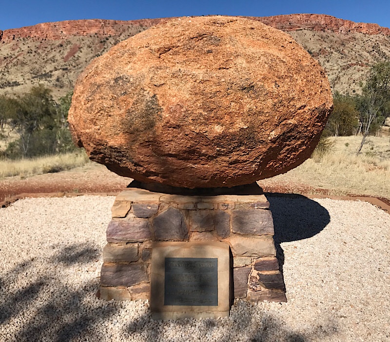
We left Wauchope and travelled the few K’s north to the Devils Marbles. We stayed about an hour and walked around the site, its just like giants have dropped pebbles around the country side and this is the result. The red centre is amazing when you think within a radius of 400 k’s from Alice Springs there are so many different and great natural wonders, The Rock, Olgas, Kings Canyon, Mt Connor, Standley Chasm, Simpsons Gap, Devils Marbles and there are som many more places to see. The photos below are just some of the many I took in my walks.
Looking across the site to the car parkThere are walks all thru the site, which is surprising as the indigenous class the site as sacred and at the Rock and the Olgas you could not walk on or take photos as it was classed as sacred. Go figure!How would these go as a garden feature!
From the Marbles we travelled to Tennant Creek for brunch and a fuel stop. Tennant Creek is a very bleak town, it has a very heavy indigenous population that seem to have nothing to do but sit or walk around town. We had the same feeling 2 years ago when we visited, I do hope there is a brighter future ahead for them.
Banka Banka Station & Tourist Park from the lookout.
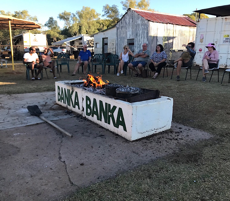
We planned to have a rest day at Banka Banka, just a full day to do bugger all, rest up for some long days ahead. I managed to do a few little repair jobs on the van, so the day was well spent. Andrew and I then went up to the lookout with a bottle of red and saw out the day, hoping for spectacular sunset. It was good but I think the red was better!
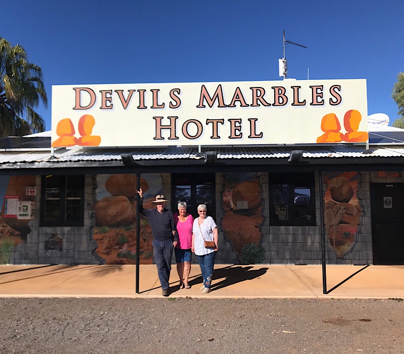
Andrew, Sue & Susan outside the Devils Marble Hotel, Wauchope
We left Alice Springs today after an enjoyable 4 days, although I would have to say rather confronting at times. The issue re our indigenous Australians is very complicated and for those of us from down south where the issue is hidden (for want of a better world) it’s certainly eye opening. In the next two months we are going to travel in places where there are warnings to be extremely careful in locations with high indigenous populations, especially townships in WA. Hopefully a bit of humour and our good nature combined with a fair degree of diligence will get us through safely.
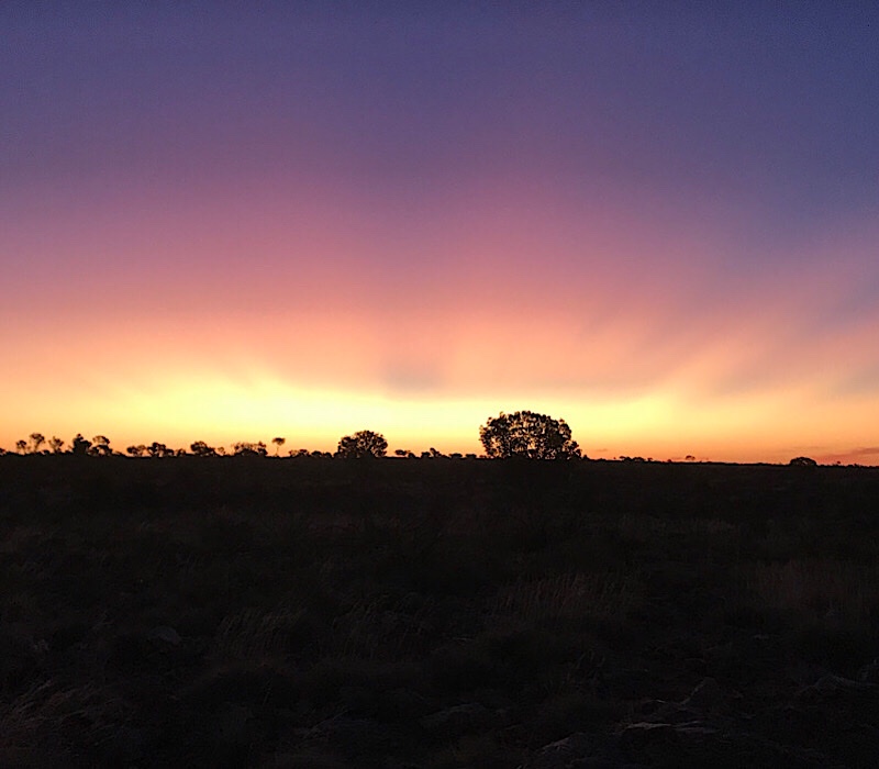
Sunset at the Devils Marbles Hotel
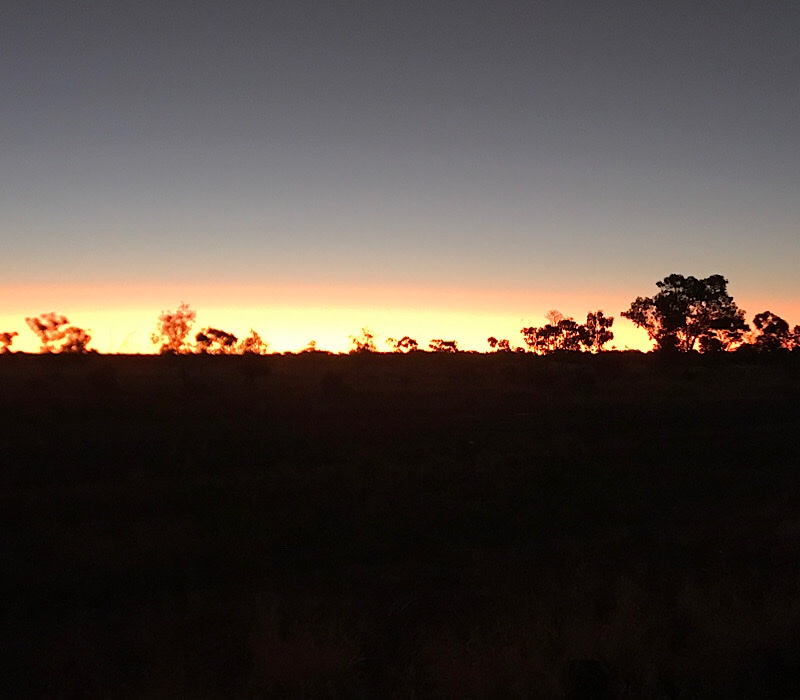
After leaving Alice we travelled up the Stuart Hwy to Ti Tree for brunch before heading on to Wauchope and the Devils Marbles Hotel. We free camped out the front of the Hotel (with half of Australia it seemed) at no cost and enjoyed a meal in the pub. We came out to a beautiful sunset, once again the photo does not truely show the colours. It was a long day at nearly 400 K’s, we all slept reasonably except when the road trains came thundering past at 120 K’s, you certainly knew when they were around.
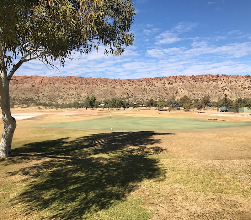
Time for another “CRAPP”. Andrew and I were back on the golf course today after a 2 week hiatus. We thought Broken Hill was dry but Alice Springs to use a phrase from a Bazza Mac Kenzie movie, was as dry as a “dead dingo’s donga”! We thought Griffith greens were quick, they had nothing on Alice Springs, the grass was extremely short (looked like artificial grass) and at times it was like putting on glass. It was certainly an experience.
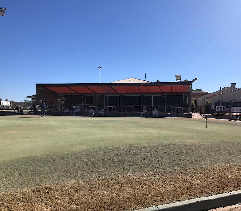
The 9th green with the Clubhouse in the background.
Design – The design was pretty good based on the landscape available. It had a resort style theme with many houses along the course boundaries. Basically flat, with a couple of slight hills to make it interesting. Rating – 15 out of 20
Condition – This is were its hard as the “outback” courses do suffer at times from a lack of water and Alice Springs was no different. Even though it was winter, the course was extremely dry, even the greens were sprayed to give them a more appealing green colour. The bunkers basically had no sand and were difficult to get out of, let alone stop your ball on the green, it was downright impossible at times. Rating – 12 out of 20
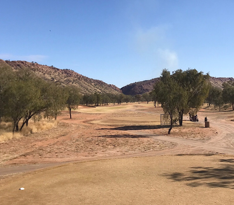
Looking down the 15th fairway with the MacDonnel Ranges in the background. Notice the “Gap” between the East and West ranges as you drive into Alice.
Cost – This was very disappointing, normally when you play in the club’s comp as a visitor you play half price green fees and then your comp fees, not so here as we paid full tote odds for our game today. It was the most expensive round I have paid in my travels around Australia in the last 3 years. Our rating is low but we my have been a bit generous as well. Rating – 7 out of 20.
Visual Appeal – The course did look good at first look but now we know the greens have been sprayed it does a a slight shine of the course. Nevertheless it did look pretty good. Rating – 17 out of 20
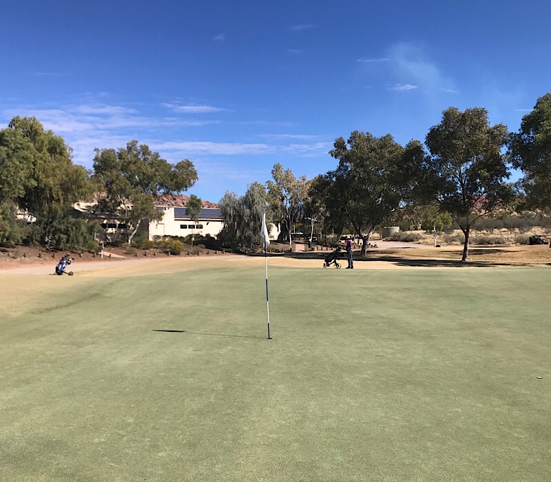
The 18th green!
Facilities – The club had its own driving range and the practice putting green was an accurate facsimile of what you were to face on the course proper. The clubhouse overlooking the 18th green was nice as well. Rating – 17 out of 20.
Ambience- It was very pleasant at the end of the round to sit and have a drink overlooking the 18th. The locals treated us very warmly and we did enjoy our time here. Rating – 8 out of 10.
Conclusion – With a final score of 66, Alice Springs comes in 3rd of the 4 courses we have played so far. I think it would have rated higher if it wasn’t so dry resulting in extremely quick greens. As I have said many times you can only rate a course of what it displays on the day we play it.
I hope you look forward to my next “CRAPP” in Darwin!
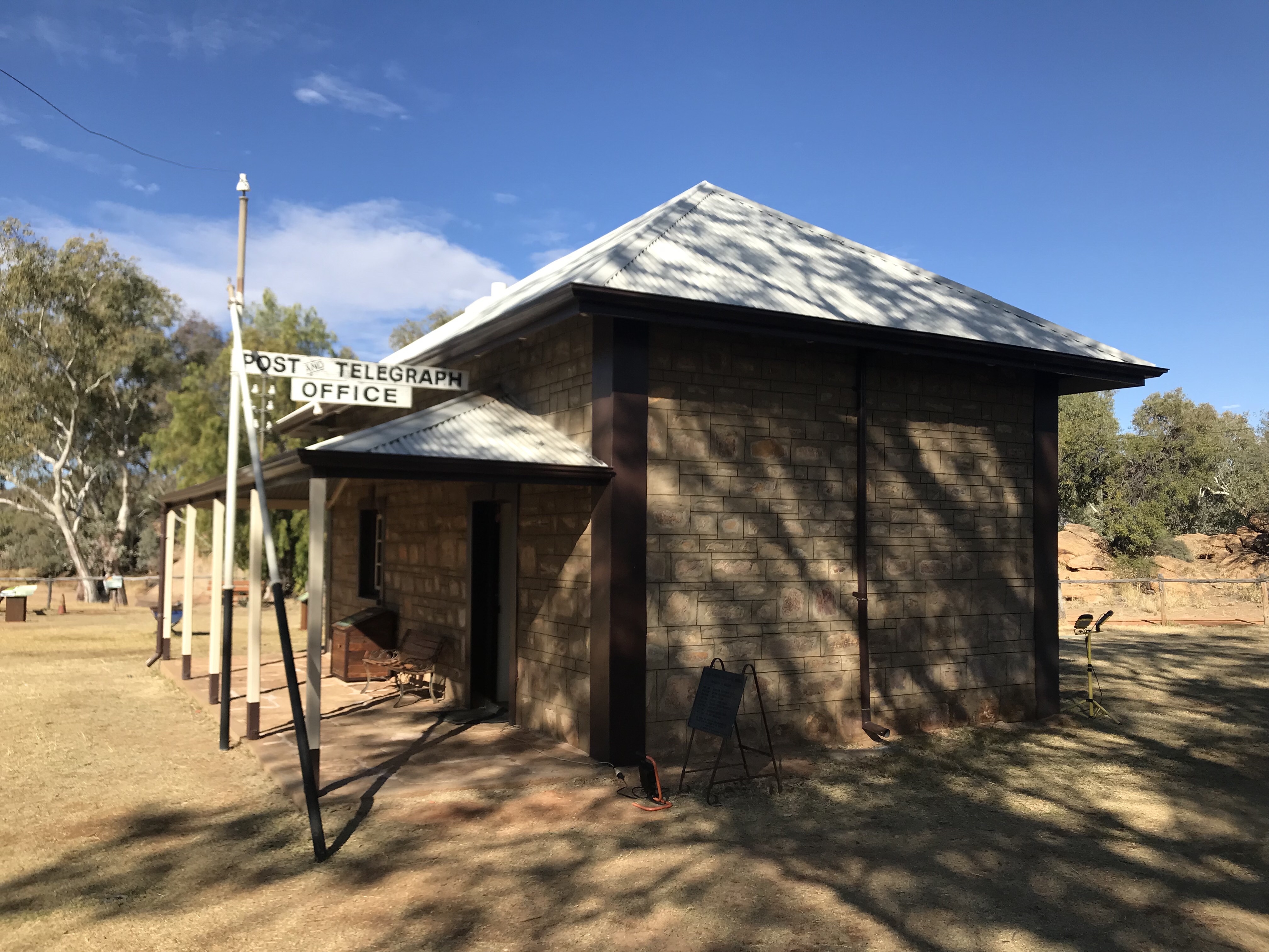
The reason for Alice Springs, the old telegraph station.
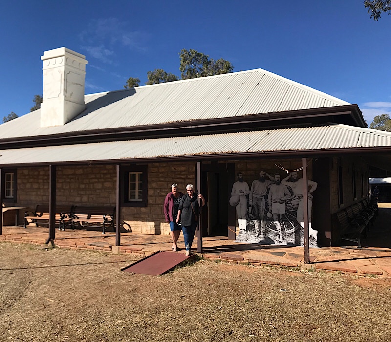
We’ve spent the last few days touring around Alice, doing shopping and cleaning our vans from the red dust @ the Rock, Olgas & Kings Canyon. Alice was founded as a repeater station for the overland telegraph line that went from Adelaide to the Port of Darwin. There were 12 repeater stations over the 3,000 K’s and the line took 2 years to build and was opened in 1872. The telegraph station lies about 3 k’s north of Alice and the township was originally called Stuart who explored the country from Adelaide to Darwin, which the telegraph line followed. It wasn’t until 1932 that the town changed its name to Alice Springs.
The Post Master General at the time was named Todd and that’s were the famous Todd River gets its name and his wife’s name was Alice. The repeater station was situated next to a waterhole or spring, so that’s the reason how Alice Springs got its name.
As I said we visited a number of places and the following photos are a brief view of our “tourist” activities.
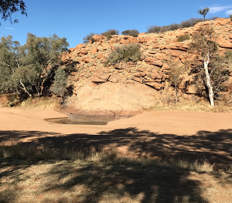
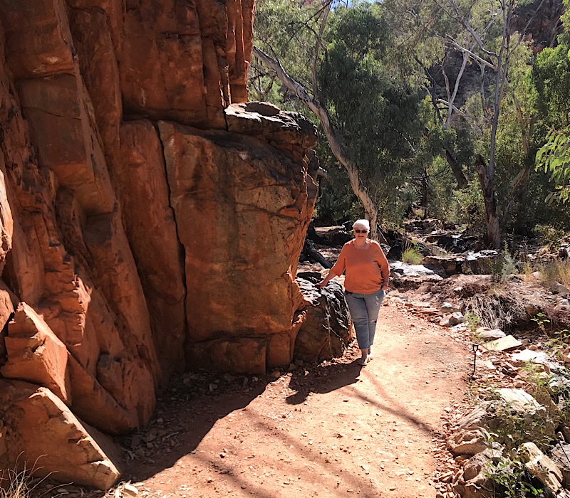
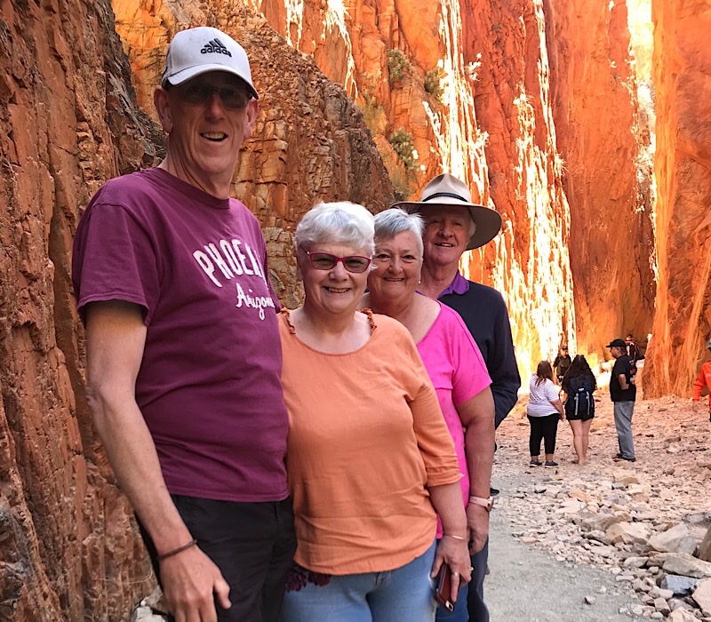
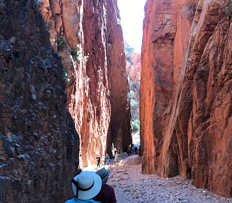
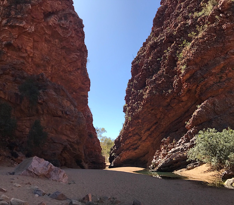
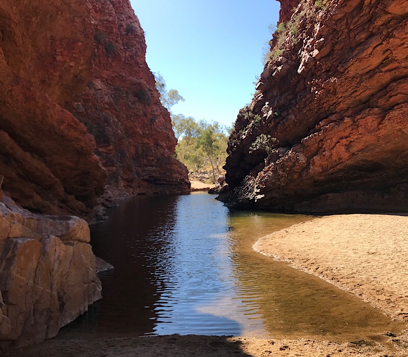
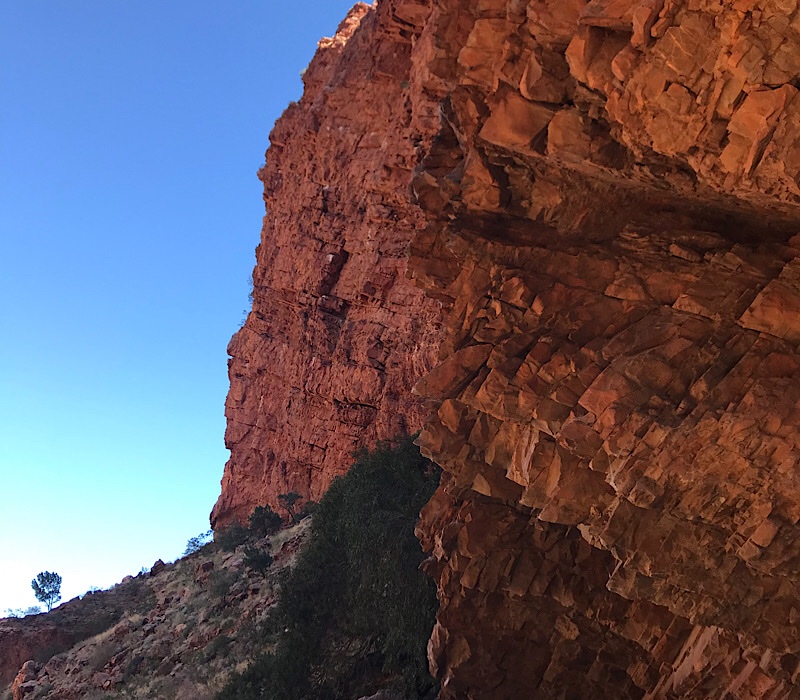
Sue & Susan outside the Barracks Building at the Old telegraph station, the oldest building in Central Australia.This is the waterhole beside the Old Telegraph Station and the reason the repeater station was located were it is. As mentioned above this is how Alice Springs was named.You don’t waste anything in the outback if it still works, whatever its age!The Rev. John Flynn’s grave at Mt Gillen, the founder of the Royal Flying Doctor Service.Susan on the track to Standley Chasm, wearing her camouflage gear to match in with the scenery.The Christie & Walton’s @ Standley ChasmStandley ChasmSimpsons GapThe waterhole at Simpsons GapThe cliff face at Simpsons Gap, the colour was a brilliant orange in the sun.
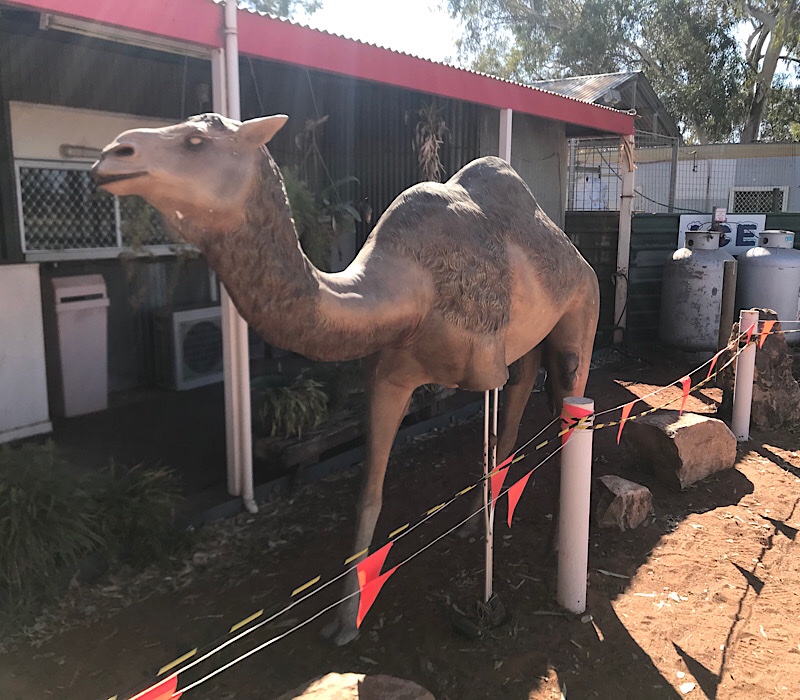
So we set off to Alice Springs this morning, eagerly looking forward to getting internet reception and a good hot shower, after a number of days in the “dirt”. A quick trip 30 K’s up the Stuart Hwy to to Stuart Wells Roadhouse for Breakie. Typical outback roadhouse with with snakes (including a huge python) and other desert attractions, even had the first 3 legged camel I have ever seen. From there is was a short trip of 100 K’s to Alice Springs our home for the next 4 days. Weather mid 20’s and sunny but very cool nights, down into the single figures. Although the cold nights should star to disappear soon as we move further north and cross the Tropic of Capricorn next Monday.
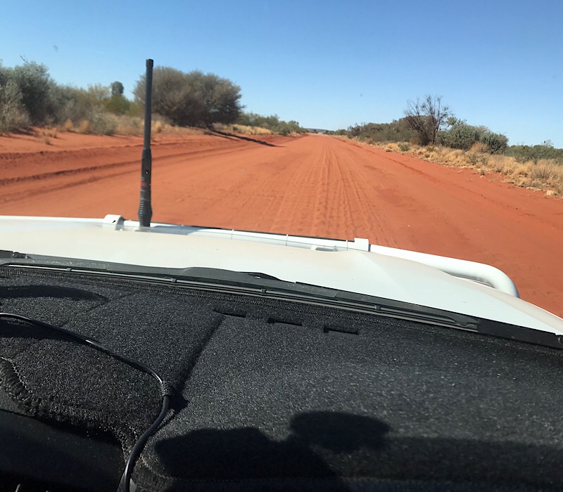
Today we left Watarrka National Park and travelled to Finke River Campground on the Stuart Hwy, 130 K’s south of Alice Springs. We decided to take Ernest Giles Road which would take about 200 K’s of the trip but it did involve 100 K’s of travel off the bitumen. We were assured by the locals at Kings Canyon the road was good but we still prepared by lowering tyre pressures all round and taping up our doors and other areas to protect from the red dust.
Ernest Giles Road!
We’ll the road was good, in places. It could have been much worse but nevertheless it was pretty tough, considering our van is a tourer and not really suited to this type of travel over a long period. We had a bit of dust in the van and a cupboard door fell off, additionally I lost one of the “Be Brave on Tour“ mudflaps off the back of the van, very disappointing. Thankfully we got to our overnight stay safely and hoping to get a good sunset, whilst it wasn’t too bad, we were hoping for better.